My day started early: 3:30am to be exact. My sights were set on hiking from Waiau to Waimalu, but with the constant rains in Wahiawa Heights the night before and a few days prior, I had a feeling that a Ko'olau summit hike would be out of the question. In fact, I actually drove to the Waimalu Ditch trailhead that morning to meet up with my crew of three: Dave Chatsuthiphan, Lei Yamasaki, and Ryan Chang. Upon arriving in Waimalu Heights at 4:30pm, the rain was coming down hard, so Ryan came up with the idea to check out Piei Mauka starting in Kahana Valley on the other side of the island. I was game, as was everyone else.
Our arrival in Kahana seemed much more promising. The rain was minimal, the trade winds were brisk, and Pu'u Piei was free of clouds. Although the ground was heavily saturated, we decided to push on anyway.
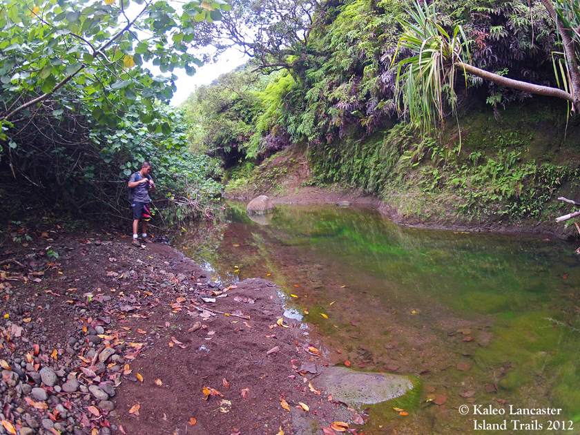
Starting at 6:40am, we were on our way on the long road that leads to the Kahana Valley water tank. From the watertank we took the steep trail that leads to the ridge crest of Pauao Ridge. During our ascent, the rain began to drench us. About two-thirds of the way up, we took a rest, totally drenched from head to toe, and actually contemplated turning back. Our rest spot offered a lofty view towards the ocean horizon and we could see that the downpours were just passing rain squalls, and by experience, we agreed that as the day went on, the weather would definitely get better ... we hoped.
We pushed up the last section to the crest of Pauao and rested again, while another rain squall approached and gave us an added soaking. Once the rain passed, we headed makai to Pu'u Piei on an obvious trail that I assume hunters use regularly. At a certain point, the swath disappeared, and we soon found ourselves just following the ridge line, pushing through heavy vegetation along the way.
Further along the ridge, some sections were lofty and exposed. These sections were especially awesome because it offered some incredible views of Kahana Bay, Kahana Valley, and Punalu'u Valley. Much of our time was spent snapping photos and taking water breaks along these sections.
Ryan took the lead in front, and was way up ahead for a short while until he reached a nasty looking rock face that he claimed would not be a good idea to climb. So instead of following the ridge line, we blazed a contour trail on the Kahana side of the ridge. The contour was a bit sketchy as we traversed what looked to be a recent rockslide: broken trees, loose ground, and large rocks made progress difficult. I actually dropped my GoPro camera along this section and watched it tumble downslope about thirty feet until its momentum was stopped by a tree. I went down to retrieve it, thinking the worst. But to my surprise, the camera housing wasn't scratched, and the camera was still working.
The contour eventually regained the ridge line at a low point. The bypass we took seemed more than apt as we looked back at the ridge line that we would have had to hike on: it was very narrow, a bit steep, and really crumbly.
Pushing on, we got a good view of what was up ahead. It looked like three steep and exposed climbs, the first climb on rock, and the second and third climbs on grass and dirt. Even more so, from our vantage point, the climbs looked a bit intimidating. But as we neared the base of the first obstacle, it wasn't as bad as it looked from afar.
The first climb was a short, semi-steep ascent, with lots of strong trees rooted into the ridge for added security, ensuring forward progress. The second climb and third climbs were a bit sketchy. It reminded me of a mini version of some of the climbs on Southeast Ohulehule: loose dirt, loose rocks, minimal hand holds, and mostly ulei to grab a hold of to pull yourself up.
After completing the climbs, we finally hit the summit of Pu'u Piei around 2:30pm. The view at the top is obscured by vegetation, so we decided to keep on going without a taking a rest. About ten minutes later, we reached the main trail junction and began our descent. An hour later, we were back at our cars, looking up in awe at the ridge section we just completed. As short as it looked, it ended up taking us all day. And it's probably one of those hikes that I will never set foot on again.
Check out these other links related to the same ridge and mountain peak:
Kahana to Wahiawa - October 8th, 2011
Pu'u Piei - May 10th, 2008
Piei Makai - November 12th, 2011
Unreal Hawaii by David Chasuthiphan - Piei Mauka